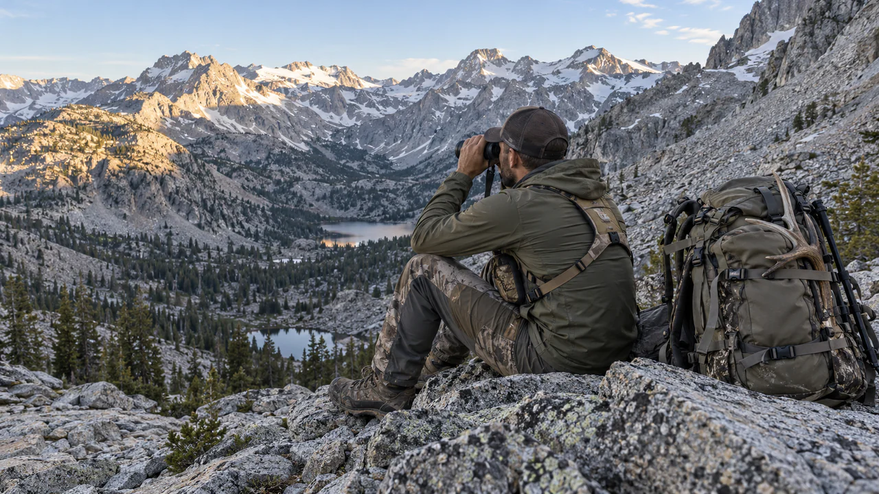
Offline 3D maps. Your spots, encrypted with your key.
Your pins, tracks, notes and photos are encrypted on your device before they sync. Massif can’t decrypt their contents.
Access by invitation
Massif runs on iPhone and Android. We’re opening it by invitation, a few people at a time.
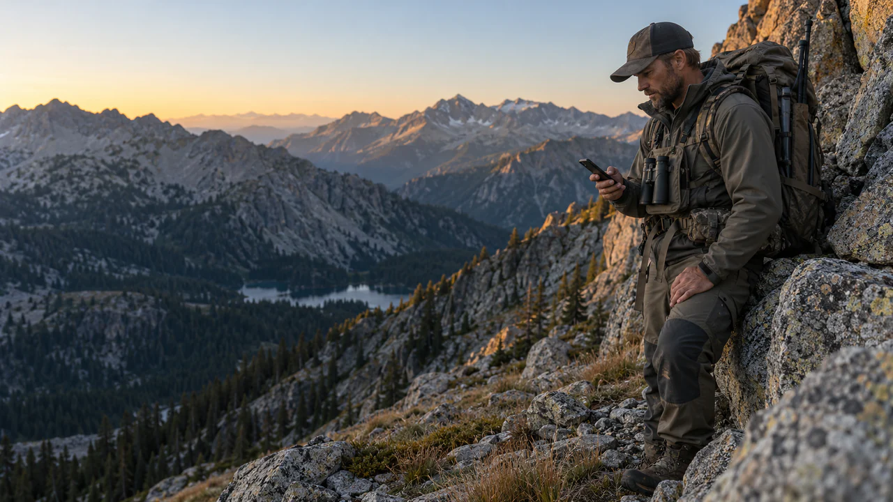
Your spots, encrypted on your device.
Every pin, track, note and photo is encrypted on your phone before it syncs.
On your phone
Readable to you
Sheep Basin Glass
- elev
- 10,280 ft
- trail
- 6.8 mi from trailhead
- saved
- 6:12 AM
- note
- Two rams bedded under the cliff band at first light. Glass from the east knob.
Encrypted on your phone
On Massif’s servers
Readable by Massif: the owner, an ID, the size and the sync time
- owner
- your account ID
- id
- mk_3f9c0e21
- size
- 288 bytes
- synced
- 12:12 UTC
- data
- Unreadable ciphertext, 288 bytes
- decryption
- Massif can’t decrypt this data.
Our servers store encrypted copies so your spots can sync and be restored with your recovery kit. Massif can’t decrypt their contents.
Know the country before you climb it.
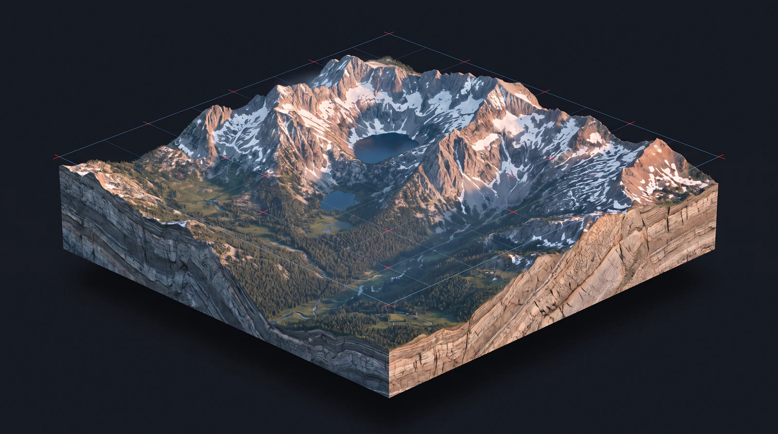
Tilt and orbit 3D terrain. Read the country as you’d glass it from the far ridge.
3D terrain
Tilt and orbit real elevation. See how a basin drains, where the benches sit and which face holds snow.
LiDAR bare earth
About 1 m resolution with the timber stripped away, where survey data exists. Benches, saddles, funnels, wallows and old roads show up plainly.
Layers
30 cm imagery, 20 ft contours, slope-angle shading, snow, public land and parcel boundaries.
Routes and offline
Plan a route with its elevation profile, save the region, and keep the whole map with no signal.
Satellite imagery, brought into focus
See the land more clearly.
Less blur. Richer texture. Massif brings clarity to satellite imagery, for a more vivid view of the country you’re heading into.
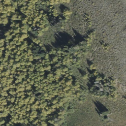
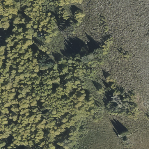
The same woodland edge. A clearer view.
The app, screen by screen.
Shown with sample data.
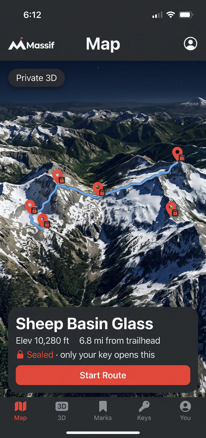
Map Sealed pins and a route over tilted 3D terrain. 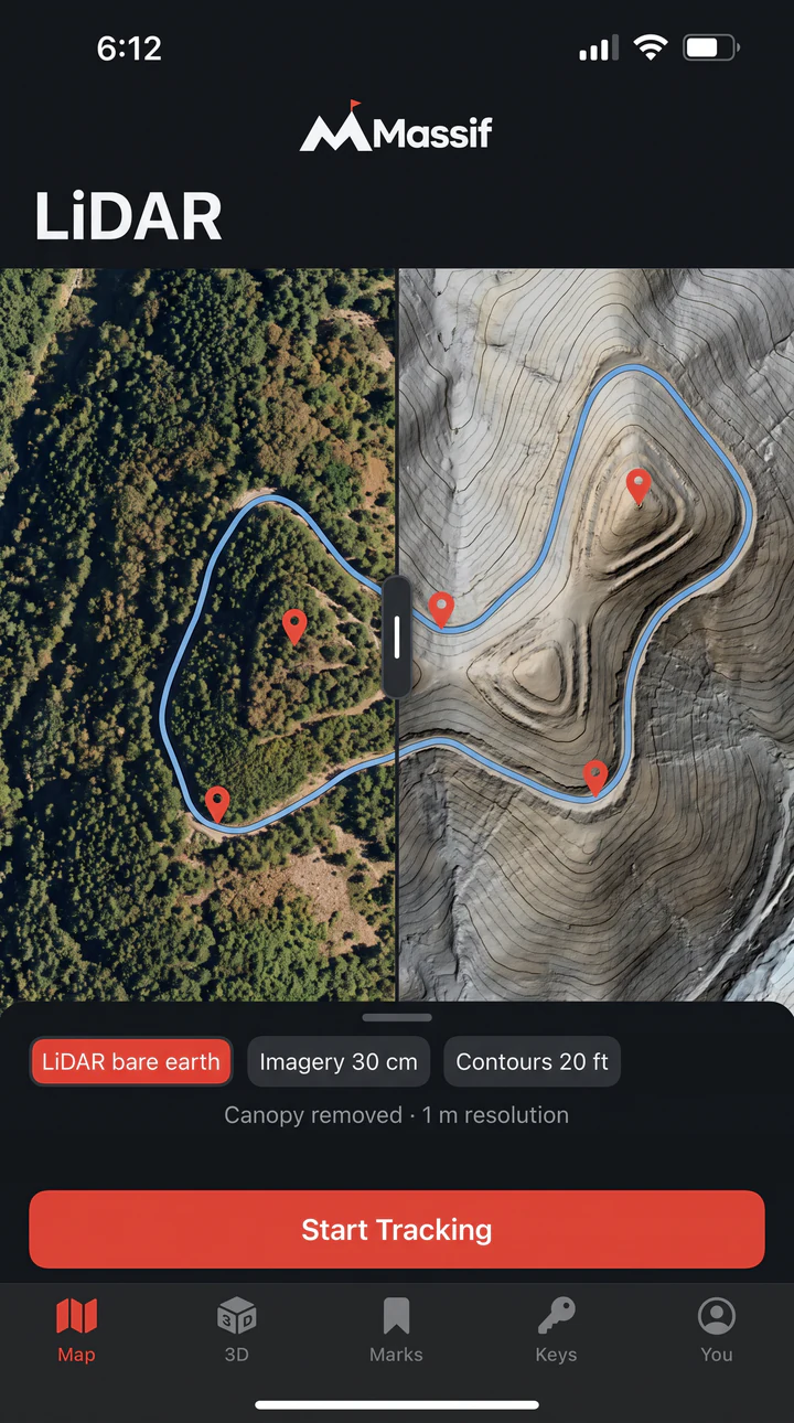
LiDAR Imagery and bare earth side by side on the same ridge. 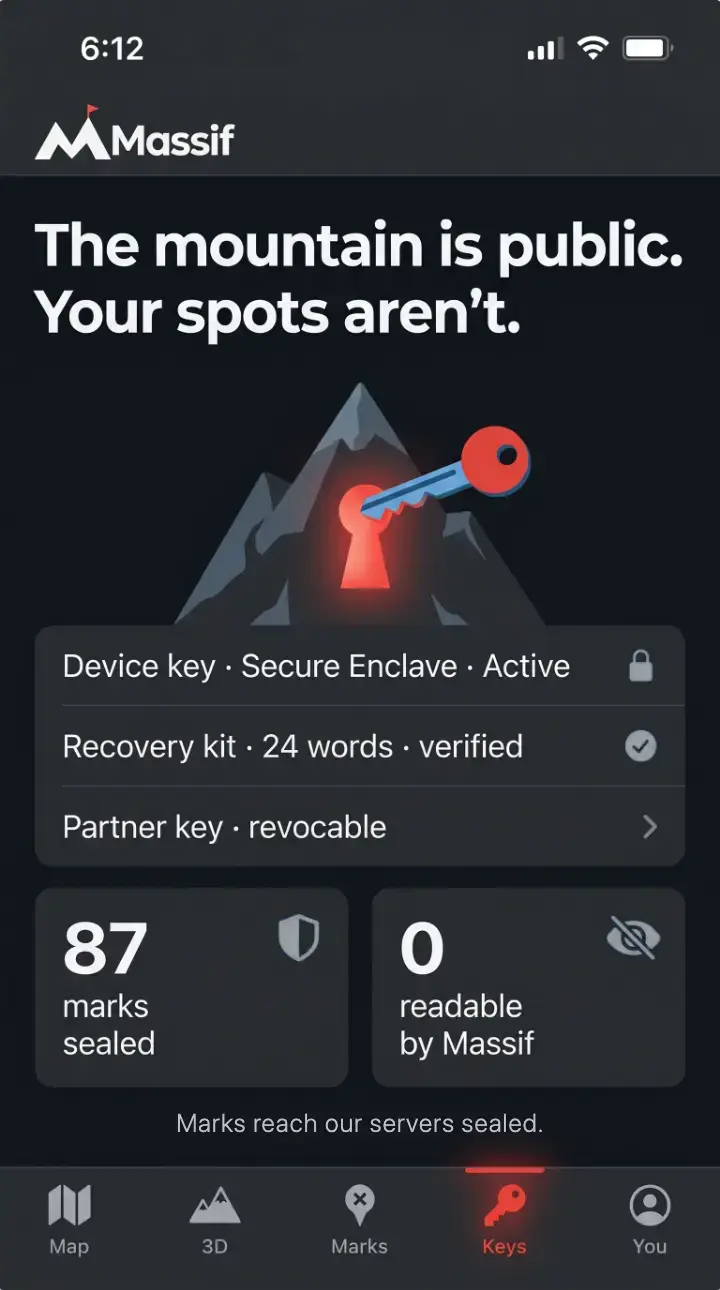
Keys Your device key, recovery kit and partner keys in one place.
What’s in Massif.
Data coverage varies by area.
Map
- Terrain
- Full 3D, tilt and orbit, high-resolution elevation
- LiDAR
- Bare earth, about 1 m, where surveyed
- Imagery
- 30 cm where available
- Contours
- 20 ft
- Shading
- Slope angle
- Layers
- Snow, public land, parcel boundaries
- Routes
- Elevation profiles
- Offline
- Saved regions for no-signal country
- Marks
- Pins, tracks, notes, photos
Data security
- Encryption
- AES-256-GCM, one key per mark
- Where
- On your phone, before anything syncs
- Device key
- Secure Enclave on iPhone. StrongBox on Android, or the hardware-backed keystore on phones without it. Never leaves the phone.
- Recovery
- 24-word recovery kit. Optional FIDO2 hardware key.
- Back door
- None. Massif cannot reset or recover a lost key.
- Servers hold
- Sealed marks, locked keys, public keys, sizes, timestamps, your account, share records, a push token and connection details
- Sharing
- One mark, one person. View only, expiring, revocable.
- Platforms
- iPhone and Android
- Access
- By invitation
Request your invite.
Massif is invite only for now. Leave your email and we’ll send your invite as soon as it’s ready.
Request received.
We’ll email when your invite is ready.