
Mapping
Every ridge, bench and saddle, in 3D.
High-resolution elevation, LiDAR and sub-meter imagery in one map you can tilt, orbit and carry into country with no signal.
01 · 3D terrain
Tilt it. Orbit it. Read the basin.
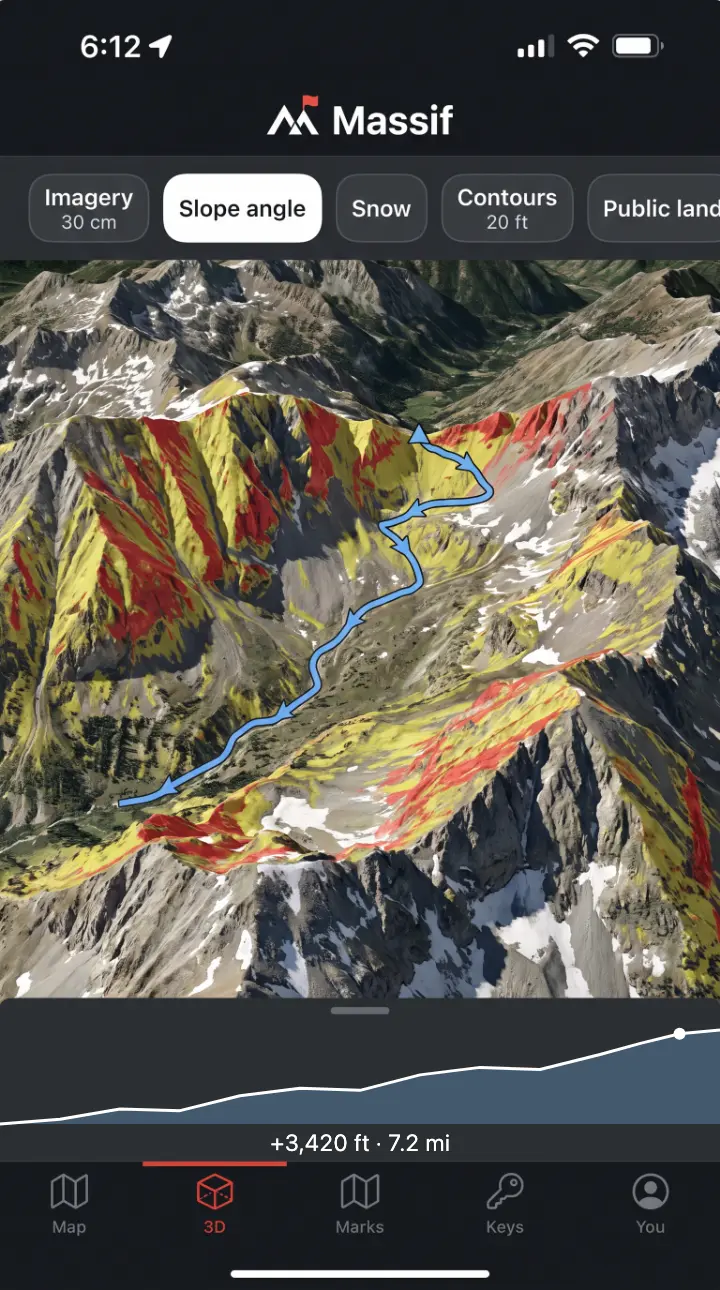
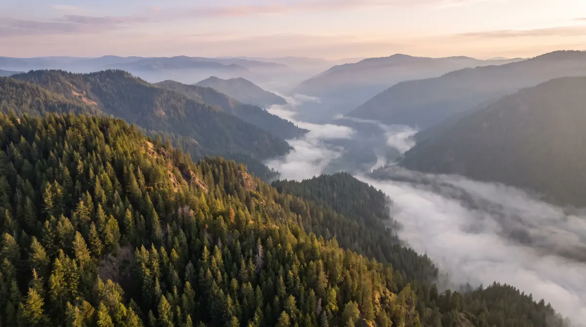
The terrain is built from high-resolution elevation data, so a basin has its real depth and a face has its real pitch. Tilt the map to see behind a ridge. Orbit it to see which side holds timber and which side holds snow.
Slope-angle shading colors the steep ground, so you know the pitch of a face before you commit to it.
+3,420 ft · 7.2 mi · slope angle on
02 · LiDAR
Strip away the timber.
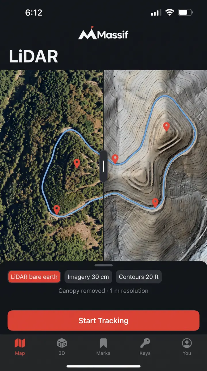
LiDAR measures the ground through gaps in the canopy. Massif uses bare-earth elevation built from those returns, at about 1 m resolution where surveys exist.
Benches
Flat shelves on a steep face, hidden under timber.
Saddles and funnels
The low points and pinches game moves through.
Wallows
Wet ground in dark timber you can’t see from the air.
Old roads
Grown-over cuts and two-tracks.
03 · Layers
Turn on what you need. Turn off the rest.
| Layer | What it’s for | Detail |
|---|---|---|
| Imagery | Reading timber edges, meadows, burns and water from above. | 30 cm where available |
| LiDAR bare earth | Finding benches, saddles, wallows and old roads under the trees. | About 1 m where surveyed |
| Contours | Reading the shape of the ground and planning a line. | 20 ft |
| Slope angle | Seeing how steep a face is before you commit to it. | Shaded in 3D |
| Snow | Knowing what the high country holds before you go. | Snow layer |
| Public land | Knowing whose ground you’re standing on. | Boundaries |
| Parcels | Seeing private parcel lines and where they meet public land. | Where county data exists |
Coverage varies. LiDAR exists where surveys have been flown, and imagery and parcel data vary by county. Boundary lines are a planning guide. For the legal line, or permission to cross private land, ask the landowner or the managing agency.
04 · Offline
No signal. Full map.
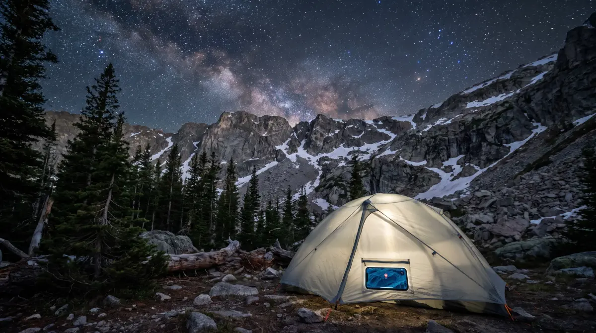
Save a region at home on Wi-Fi. In the backcountry, the terrain, the layers you saved, your marks and your routes all work with no bars.
Marks you make offline are sealed on the phone right away. They sync, still sealed, when you’re back in service.
05 · Routes
See the climb before you make it.
Draw a route and Massif shows its elevation profile: distance, total climb and where the steep pitches are. Drop marks along it and you know how far each one is from the truck.
Routes are marks too. They’re sealed on your phone like everything else.
Take the whole mountain with you.
Massif runs on iPhone and Android, by invitation. Request an invite and we’ll email you when yours is ready.